We work hard on our paddling, rescue and leadership skills. But at home, we don’t get many chances to work on our navigation; handrailing pretty much suffices along the Chicago shoreline. So we relish opportunities to practice navigation in places where it’s necessary. And our recent trip on the Georgian Bay, with its many islands and complex coastline, provided just that.
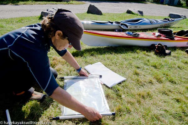
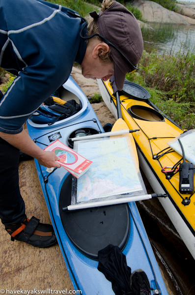
Sharon places a strip chart into a waterproof “Axel Pack” map case.
We began by getting strip charts of the area (available at White Squall and The Nautical Mind). These nautical charts, published by the Canadian Hydrographic Service, have a 1:20,000 scale, which provided plenty of detail but required us to move from section to section quite frequently. We complemented them with a 1:50,000 topographical map of the French River Provincial Park and an Adventure Map of Philip Edward Island, which covered most of the route and gave a helpful overview along with land features.
Having both a map and a chart, and various scales, proved helpful.
During our first two days, we tried navigating by eye with mixed success. On the water, it’s hard to distinguish islands from peninsulas and even from each other. The bird’s-eye view of the chart doesn’t correspond to the paddler’s-eye view three feet above the water, and it’s easy to make mistakes. Even though we tried to keep track of our exact location as we passed what seemed like distinct landmarks, we made one error that caused us to go several miles out of our way. (We stubbornly refused to rely on our GPS, though we did consult it from time to time to verify our position.)
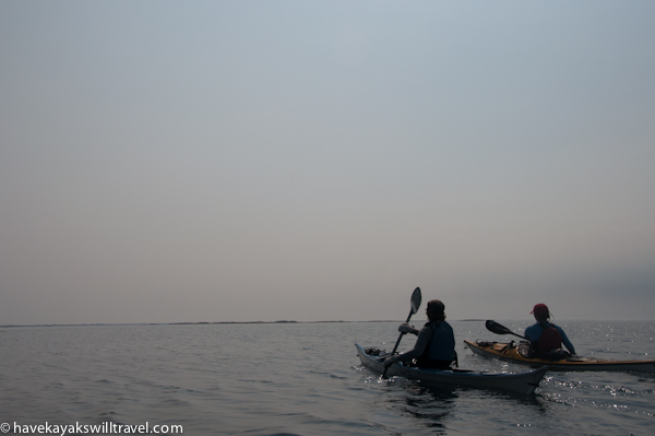
On the water, features blend together. And sometimes, you can’t see anything at all.
On the third day, we began plotting our route before getting on the water, writing down the headings for each leg and the time we expected it to take. The difference was remarkable. Even though we couldn’t see our destinations, we arrived at them with little trouble. “Navigation works!” we exclaimed.
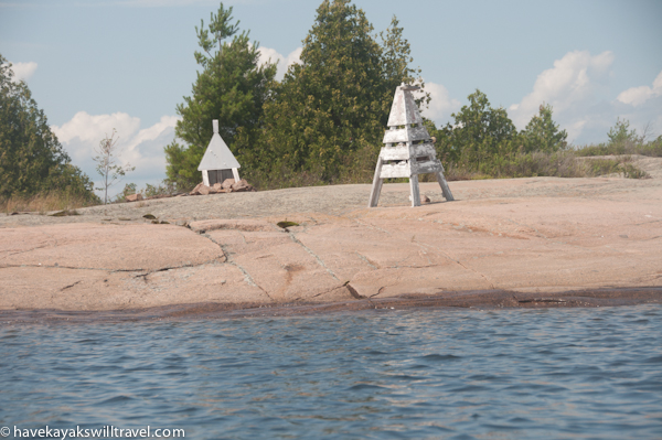
In some places, ranges helped us determine our location.
In truth, navigation is fun. We loved working with charts, compasses and watches in Wales, adjusting for current and wind as we set our course for various destinations. There was no current in the Georgian Bay, but the plethora of little islands more than made up for that lack of challenge, and made us delight in our accomplishment when we reached each point. Without these tools and the skills to use them, we certainly would have gotten lost again, and we wouldn’t have been able to take some of the complicated and rewarding routes we chose.
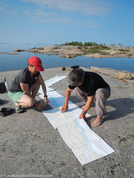
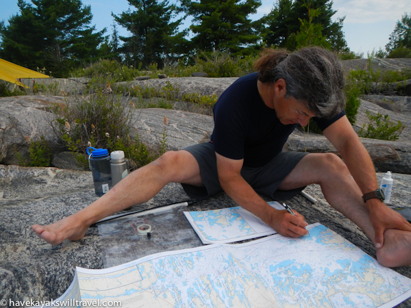
Trish and Alec plot the day’s route.
Like every other paddling skill, navigation works best when you practice it. But the real payoff is when it enables you enjoy a trip.